

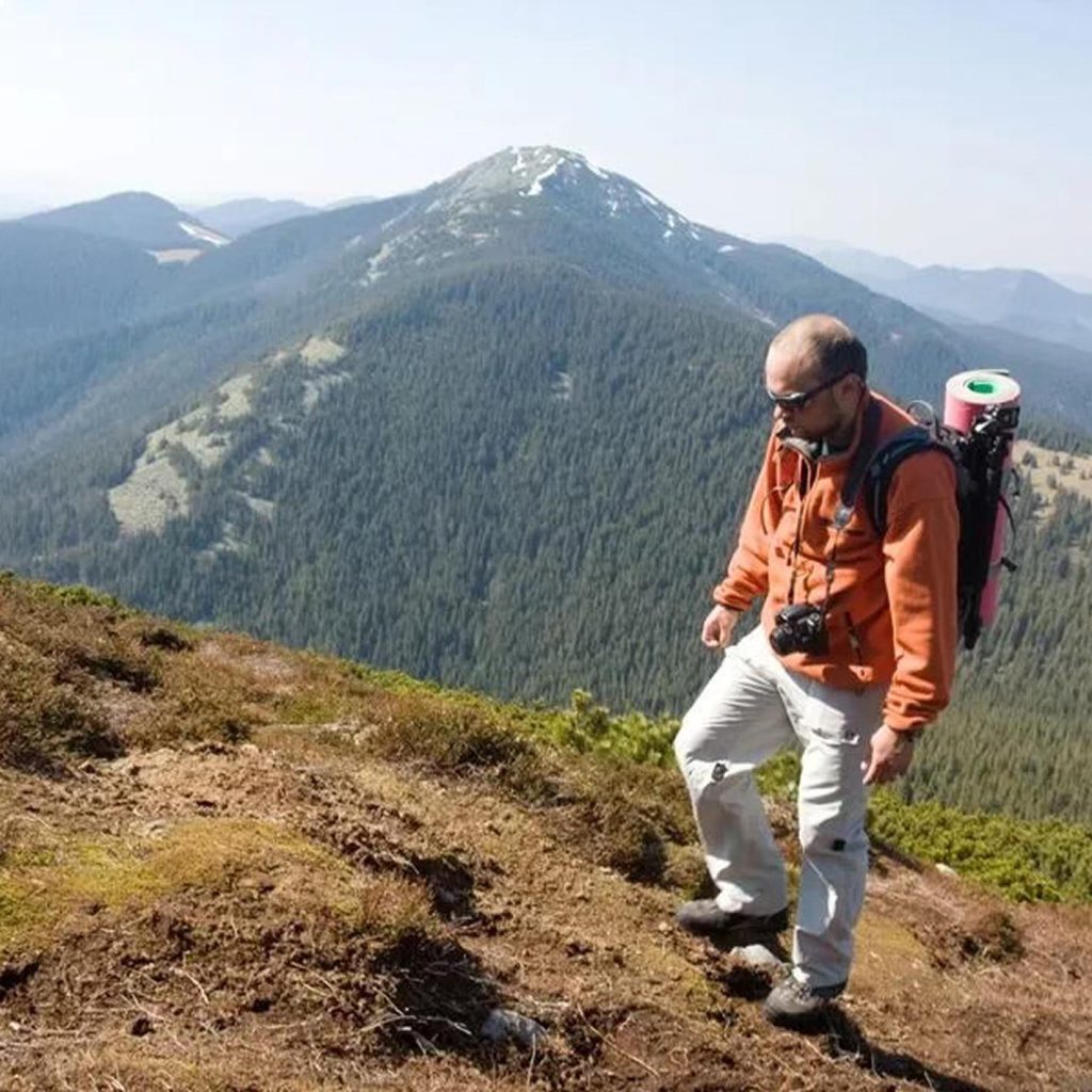
Walking Trails
The Loch Lomond area is surrounded by beautiful walking routes that showcase the loch at its finest, and Ardlui sits right at the heart of some of the most dramatic scenery in the national park. With everything from gentle lochside strolls to serious Munro ascents on the doorstep, you’re sure to find a route that suits you.
The West Highland Way
No introduction to walking in this area would be complete without the West Highland Way, Scotland’s most iconic long-distance trail. The 96-mile route runs from Milngavie on the northern fringe of Glasgow all the way to Fort William, and is designated as one of Scotland’s Great Trails. The section that passes through the Loch Lomond area is among the most celebrated stretches of walking in the country. The route winds through some beautiful native woodland and offers good views over Loch Lomond for much of the way, passing Rob Roy’s Cave and the dramatic falls at Inversnaid before reaching the northern end of the loch at Inverarnan.
Ardlui is perfectly placed for joining or dipping into the West Highland Way. A small ferry runs between Ardlui and Ardleish on the north shore of Loch Lomond, depositing walkers directly onto the trail. From Ardleish it is a short ascent to a lovely viewpoint over the northern end of the loch before cutting through to Inverarnan via Beinglas Campsite, around 30 minutes walk away. Along this section you may well encounter wild goats and catch a glimpse of golden eagles and ospreys, often seen fishing the surface of the loch.
Ben Vorlich
For those who want a proper hill day, Ben Vorlich rises directly from the slopes above Ardlui and is one of the most rewarding Munros in the area. At 943 metres, Ben Vorlich provides a great day of hiking from Ardlui, with the name translating as Hill of the Bay, reflecting its position overlooking Loch Lomond. The peak takes the form of a north-south ridge with three small summits. The north Loch Lomond area is characterised by a vast and open sense of place with long dramatic vistas, and the forests and woodlands along the loch shores contrast beautifully with the surrounding uplands. The route starts just south of Ardlui at Stuckendroin Farm, passes under the railway through a low tunnel, and climbs via the Little Hills to the ridge. Views from the summit take in Loch Lomond to the east, Loch Sloy to the west, and a panorama of craggy Arrochar Alps in every direction. Good boots, a map and a clear day are strongly recommended.
The Arrochar Alps
The mountains clustered around nearby Arrochar offer some of the finest walking in the Southern Highlands, with a range of routes to suit different abilities. West of Loch Lomond are the steep Arrochar Alps, towering above Loch Long, together with scores of much less visited lower hills stretching down to the seaboard. The Cobbler, Ben Narnain and Ben Ime are all within reach for a day’s walking, each offering spectacular views across Loch Lomond and the surrounding peaks. These are proper mountain routes requiring good fitness and navigation skills, but for experienced walkers they are outstanding.
Conic Hill
For a shorter walk that still delivers spectacular views, Conic Hill near Balmaha is one of the most popular routes in the national park and a favourite with families. The route is around 3 miles and takes roughly two hours to complete, offering views of Loch Lomond and its many islands from a summit that sits directly on the Highland Boundary Fault. It is moderate in difficulty and well waymarked throughout.
The Three Lochs Way and Great Trossachs Path
For those looking for multi-day walking adventures, the area is crisscrossed with long-distance routes. The Three Lochs Way is a 34.5-mile long-distance route that connects Loch Lomond, the Gareloch and Loch Long, and a traverse of Ben Vorlich from Loch Sloy over to Ardlui makes a fine way to round off the experience. The Great Trossachs Path runs for just under 30 miles from Inversnaid on the banks of Loch Lomond to Callander in the Trossachs, passing through some of the most beautiful and least visited parts of the national park.
Whatever your level, the national park’s own walking pages and the Walkhighlands website are both excellent resources for route descriptions, maps and up to date trail information before you set out.